Calf Canyon and Hermits Peak Fire is the largest fire in New Mexico history — almost 300,000 acres burned
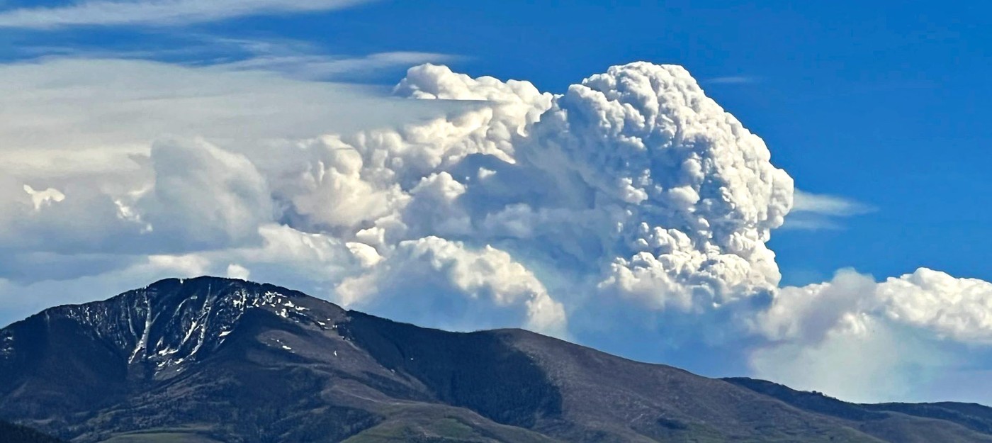
As the Calf Canyon and Hermits Peak Fire continue to burn through thousands of acres each day, and even 2,000 personnel are not enough to contain the blaze, it became the largest in New Mexico recorded history. The fire burned 297,943 acres, and will breach 300,000 acres in a matter of hours.
The previous record belongs to the Whitewater–Baldy Fire that started on May 9, 2012, in Catron County, and burned more than 297,845 acres by July 31. Considering that Calf Canyon and Hermits Peak Fire is going for less than a month, it could burn at least 500,000 acres by the time the last ember is out.
Dry thunderstorms with associated outflow winds and additional ignitions expected today. On Tuesday critical fire conditions will return, with dry air and elevated winds look to prevail through the remainder of the week.
Update:
Santa Fe National Forest posted an update on the fire. Early in the morning, the affected area grew to 298,060 acres.

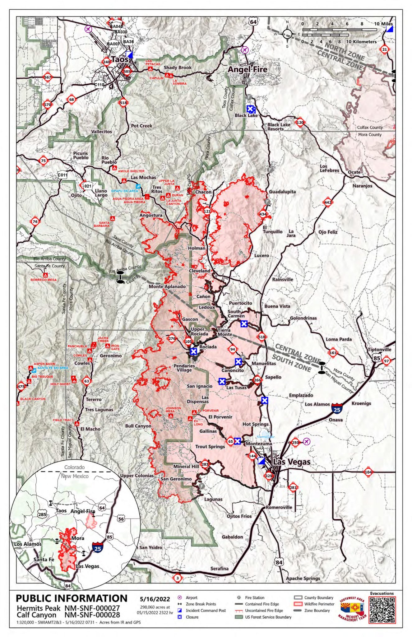
Planned actions
South Zone:
North and east sides of south zone secure fire edge, mop up, monitor and patrol. On Southern flank continue to construction of contingency lines to the south. On western flank of fire continue direct and indirect line construction as possible. Continue identification and construction of contingency lines west. Continue structure protection implementation and structure triage.
Central Zone:
North
Continue a combination of direct and indirect line construction to prevent further northward growth of the fire between DP 352 and DP 188. Continue direct line construction West of DP188 west towards FR 76
East
Patrol the 434 road. Prevent further structure loss. Continue to prepare structures moving north as resources allow and conditions require. Evaluate alternatives and establish contingencies in the event the fire crosses the 434 road.
South
Prevent structure damage in Mora and along communities in the adjacent corridors.
West
Prevent structure loss along Highway 581 near Angostura. Identify primary and secondary line locations N of 581 to Black Lake.
Structure Group(s)
Combined structure groups will continue to prep and prepare for structure defense and prep as condition and time available allow. Efforts will be prioritized based on probability of success and proximity of VARs to threat.
Other
continue to coordinate with the local utility companies to allow for operation of critical infrastructure. Continue to coordinate with law enforcement agencies to account for public safety.
North Zone:
Continue strategic planning for the North Zone, working on a draft strategic plan. Work with the communities in the North Zone to identify values at risk and address concerns from the community and cooperators. Develop evacuation zones in coordination with the other zones, and continue to communicate and coordinate progress.