Worst blizzard in decades expected in southern Canada this week
The Government of Canada has issued an alert of an upcoming extreme weather event in the southern Manitoba and southeastern Saskatchewan provinces, including the city of Winnipeg. Meteorologists expect 12-20 inches (30 to 50 cm) of snowfall in the region, and wind speeds will reach 40-55 mph (70-90 km/h).
Snowfall will begin early Tuesday evening near the US-Canada border, moving north overnight. Heavy snow will be falling by Wednesday morning, accompanied by strong northerly wind. By Friday morning accumulations of snow in the west of Manitoba and the Red River Valley might reach 31 inches (80 cm).
During Wednesday travel in the region will become more difficult. As the snow and winds continue, travel might become impossible. Conditions expected to stay the same throughout Thursday.
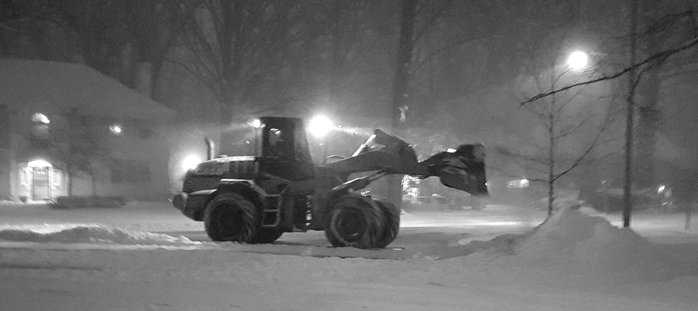
Representatives recommend refraining from travel during the blizzard, which could be the worst in decades. Residents should stock up on food, water and medicine, and expect outages. In rural areas, recovery time will take more time.
Conditions improve on Friday, but clearing snow after the blizzard may take most of the next week.